

RouteMap
Your Strava history, on one beautiful world map.
Every run, ride, hike and walk you have ever recorded, drawn as one map you can zoom, filter, frame and share.
Requires a Strava account. Not affiliated with Strava, Inc.
See everything at once
Your whole history, one map.
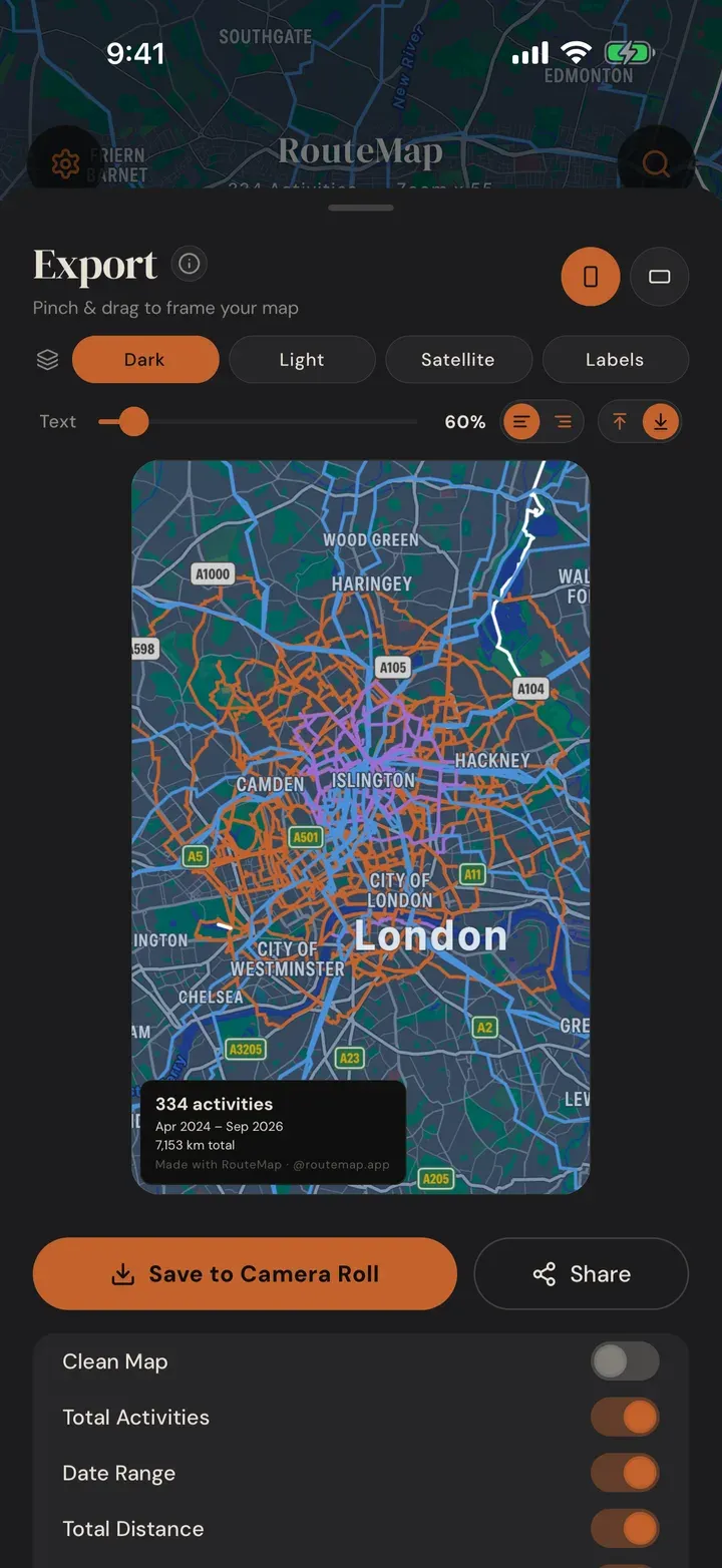
Every GPS-tracked run, ride, hike and walk appears as a route line on a single map. Zoom out for the big picture of everywhere you have been, then zoom in until you can see which side of the street you took.
Search any place on earth to check whether you have been there, and pin the activities you are proudest of to favourites.
Filter your world
Narrow it to a year, a trip, a sport.
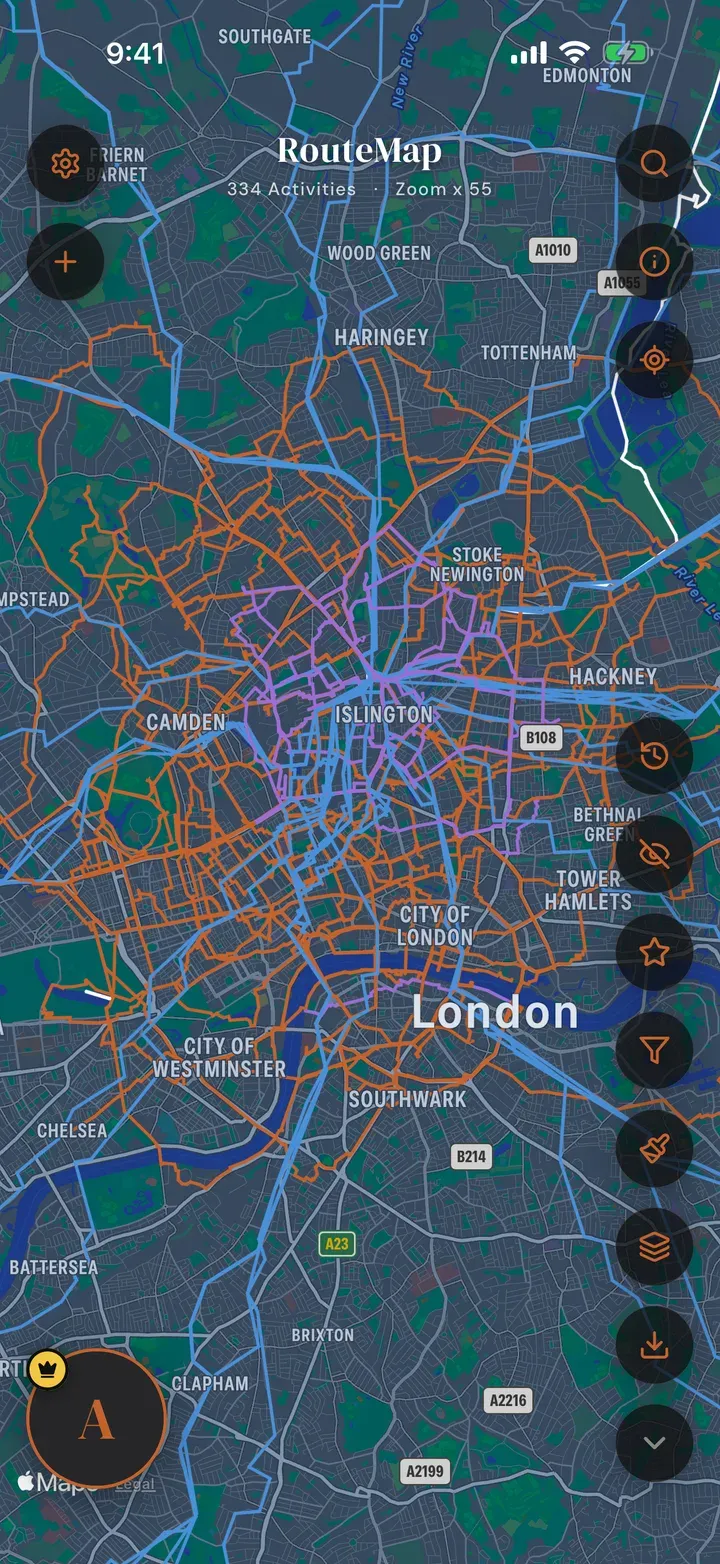
Filter by activity type, country, date range or distance. Perfect for a year in review, a single holiday, or every ride over a hundred kilometres.
Tap any route to open it: distance, moving time, elevation and average heart rate, with a link straight to that activity on Strava.
Make it yours
Dark, light, satellite, topo.
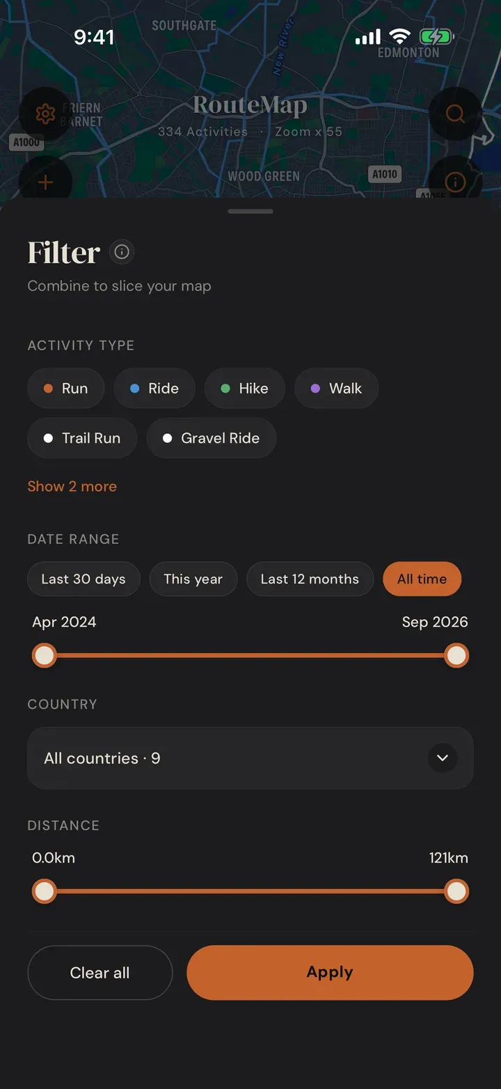
Four map styles, with place labels on or off, so the same routes can read as a clean diagram or sit on real satellite imagery.
Each sport gets its own colour, and you can change any of them. Kilometres or miles, your choice.
Export and share
A map worth framing.
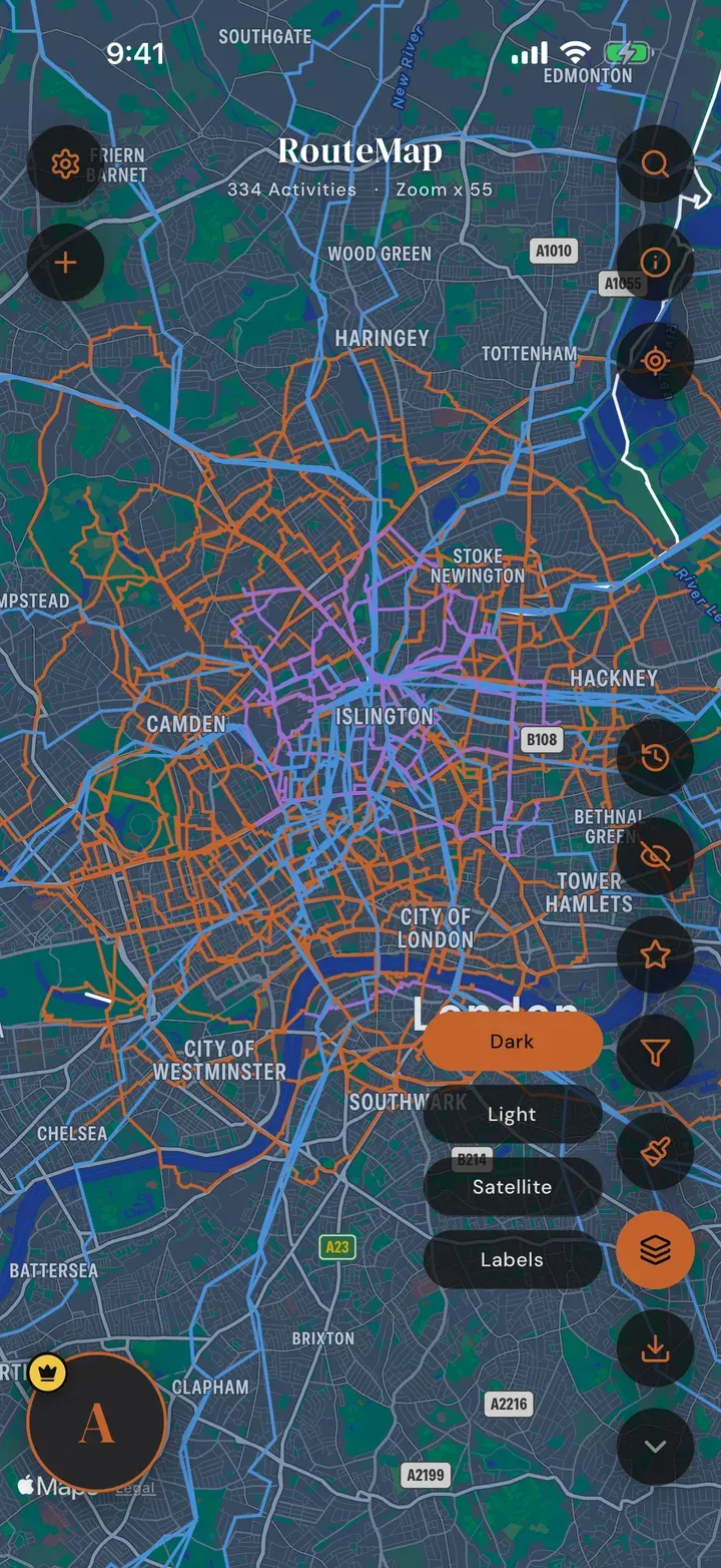
Frame any part of your map in landscape or portrait, choose which details to print, and save a clean image to your photo library or share it straight to friends. VIP exports carry no watermark and can be map-only.
Your routes are yours: download any activity as GPX, or import GPX files from elsewhere onto the same map.
Your numbers
How far, how long, how many countries.
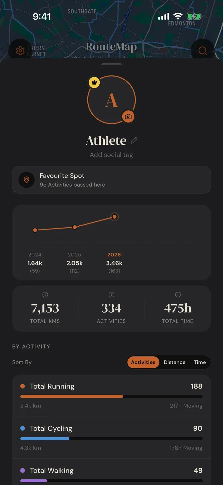
Total activities, total distance and moving time, a year by year line, your totals for each sport, a country breakdown, and your favourite spot: the place your routes pass through most.
Free and VIP
RouteMap is free. VIP goes further.
The free app puts your last twelve months on the map with no time limit and no account fee. VIP is an optional upgrade for the whole timeline and the extras.
| Feature | Free | VIP |
|---|---|---|
| Strava history on the map | Last 12 months | Your whole timeline |
| Favourites | 10 | Unlimited |
| Exports | With a small watermark | Clean, map-only views |
| Save and share | A short RouteMap message first | Ad-free, straight to your photos |
| Country stats | Top countries | All countries |
VIP is a one-time Lifetime purchase or an Annual subscription, bought through the App Store or Google Play. VIP Life includes every future pro feature, forever.
Privacy first
Read-only, always.
RouteMap asks Strava for read-only access and nothing else. We never post to Strava, never modify your activities, and never share your data with anyone who does not need it to draw your map.
Disconnect Strava or delete your account any time from Settings, and everything we hold goes with it. The privacy policy says exactly what is stored and where.
Get RouteMap
Free on iPhone and Android. Connect Strava and your map draws itself.


Questions? See Support.